TE MATUKU BAY - HIGH TIDE (3.3 m)
- 19 October 2016 -
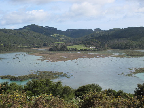
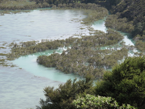
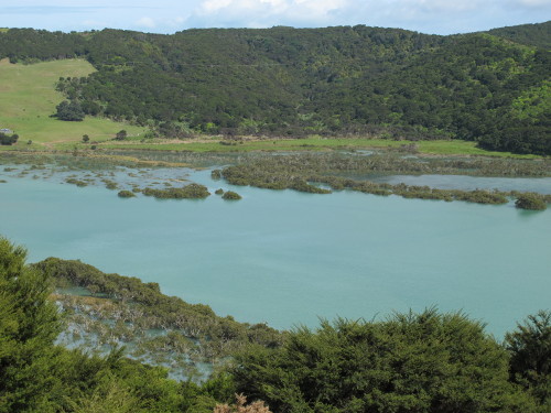
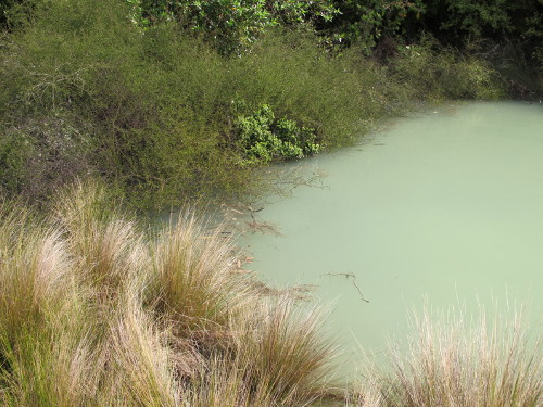
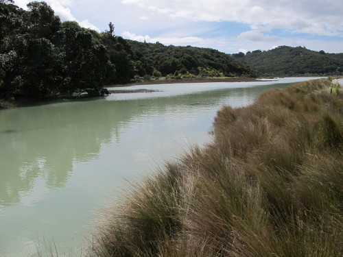
UPPER BAY
Left: Exposed salt meadow | Right: Tidal channel

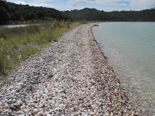
Left: Shellspit remnant on left | Right: Tall mangroves edge tidal channel
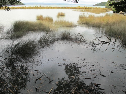
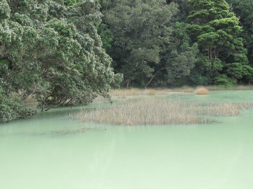
LOWER BAY
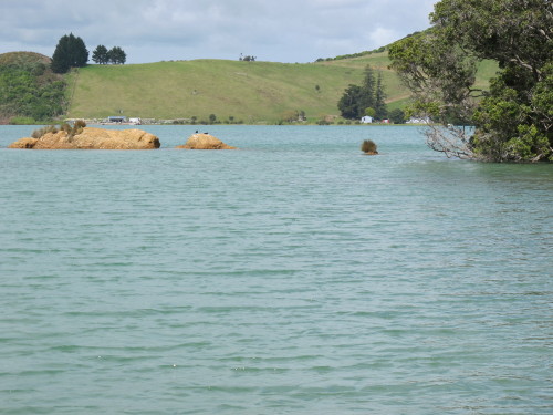
Left: Oyster farm beyond | Right: Passage Rock in far distance
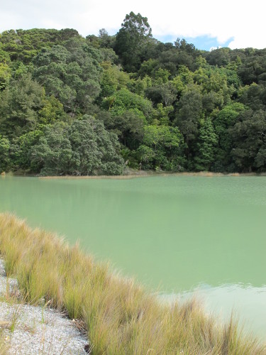
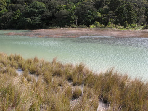
Left: Bush edge joins shellspit | Right: Upper lagoon
Left: Shellspit base | Right: Pohutukawa, taraire, totara
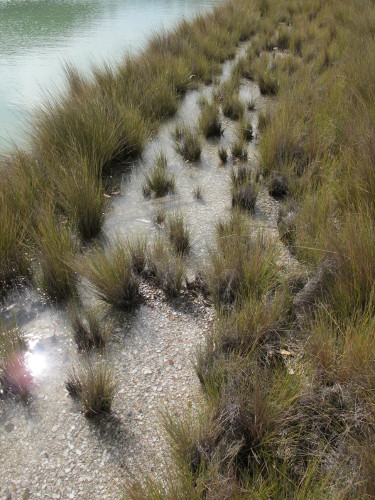
Left: Kauri on skyline | Right: Needlegrass grows sparsely near spit base
Left: Greywacke gully wetland delta | Right: Shellspit hook in distance
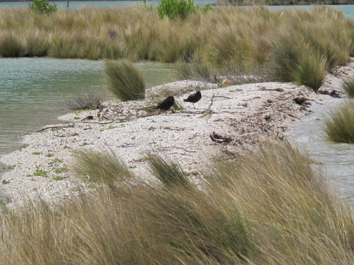
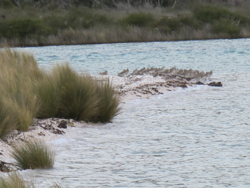
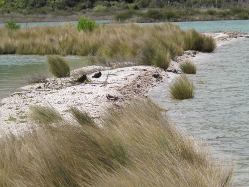
Left: Dotterels & Oystercatchers in needlegrass gap | Right: Godwits at lagoon entrance
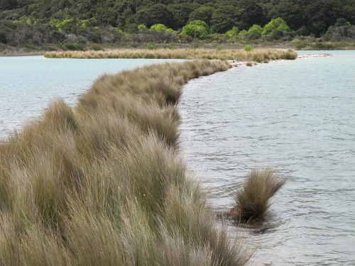
Left: Lowest section of shellspit | Right: Primary shorebird zone
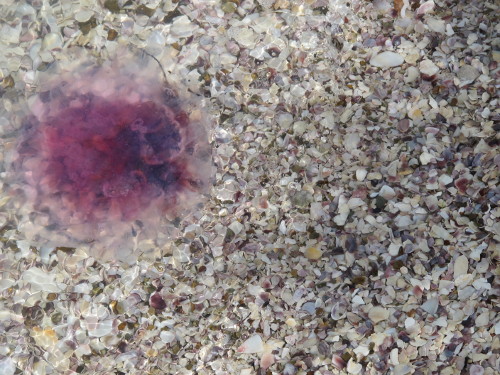
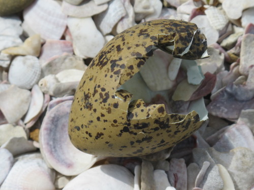
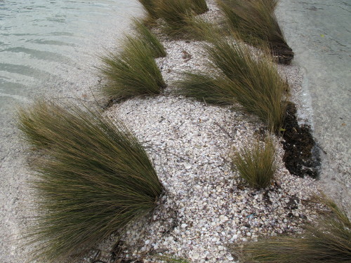
Tidal action has formed the shellspit: whole cockle shells are deposited at the base then gradually move down to the hook
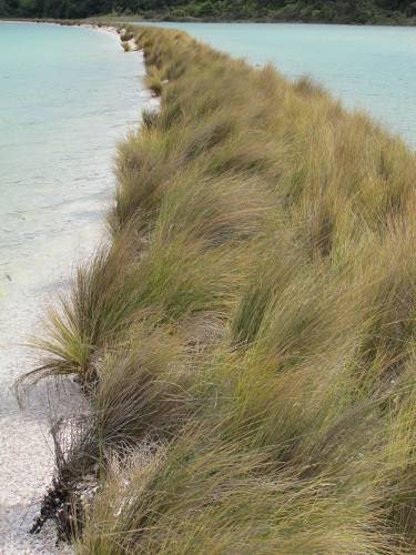
Shells become progressively smaller as they are washed along. At a certain point they become fine enough to allow needlegrass to establish